
Our Services
Clear insights for greener, cooler urban environments
Our map-based insights help municipalities, property owners, and infrastructure managers understand how trees and greenery support climate resilience, outdoor comfort, biodiversity, and long-term planning.
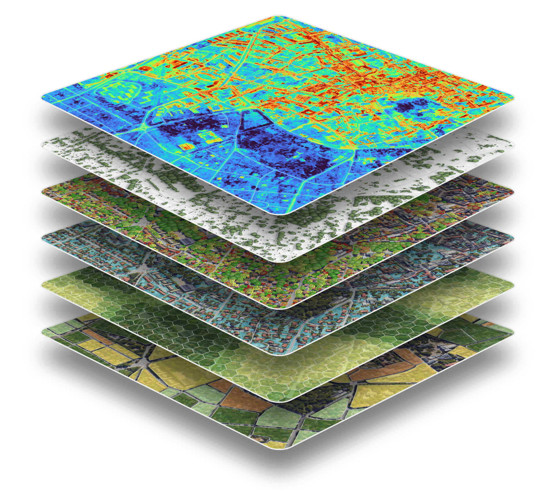
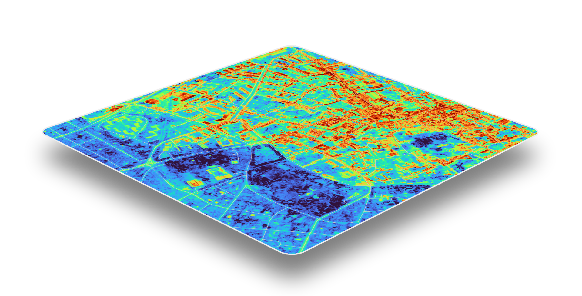
Urban Heat Mapping
We produce high-resolution heat maps that show which areas are most affected by urban heat and when they experience peak temperatures. Our street-level analysis identifies heat hotspots, quantifies heat exposure, and highlights areas where residents are most vulnerable to extreme heat.
Beyond providing insights on temperature, our analysis also evaluates the impact of heat on human health by considering the environmental factors that influence heat stress and thermal comfort.
These insights provide a more meaningful understanding of where extreme heat poses the greatest risk, and enable cities, property owners, and urban planners to prioritise where trees, parks and other green infrastructure can deliver the greatest cooling benefits.
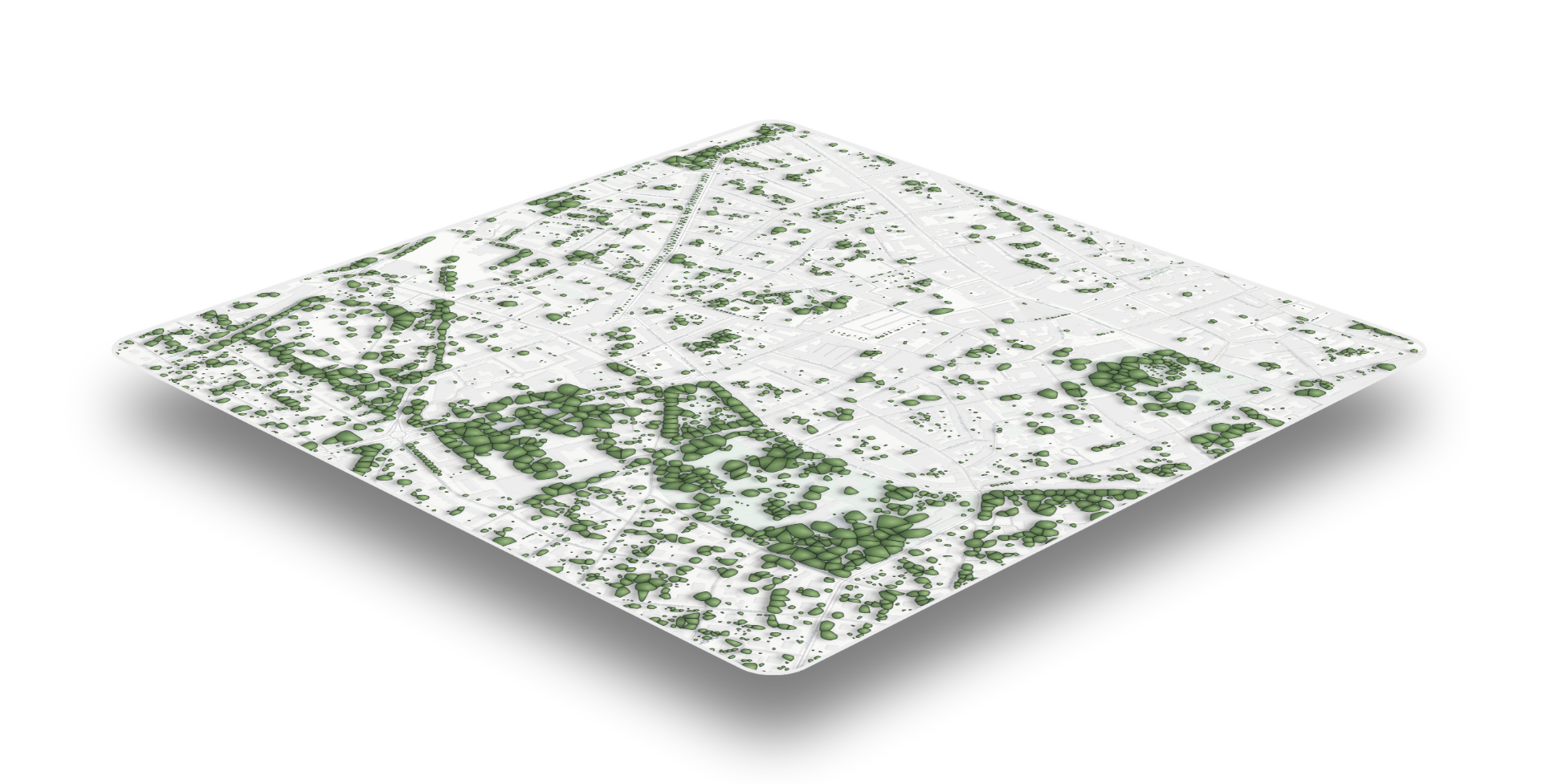
Digital Tree Inventories
Manual data handling is cumbersome, maintenance is challenging, and differing standards across campaigns make comparisons difficult. Additionally, tree data quickly becomes outdated, and storm-felled trees often go unrecorded.
Moreover, EU Nature Restoration Regulation requires Member States to ensure no net loss of urban tree canopy cover and urban green space by 2030, followed by an increasing trend thereafter.
This makes accurate, up-to-date monitoring of urban canopy essential for cities. We offer complete, up-to-date inventories of urban trees – fast and at city scale.
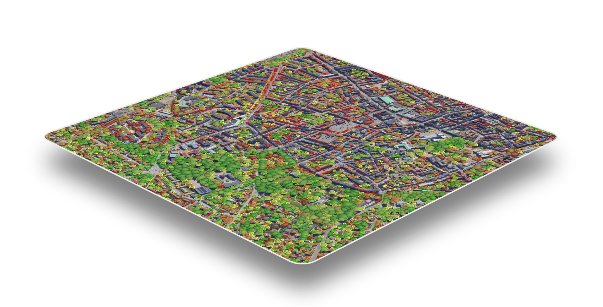
Tree Vitality Analysis
We provide continuous, tree-by-tree monitoring of urban tree health along streets, around buildings, in parks, and near critical infrastructure. By assessing every tree individually, we detect early signs of stress and decline, and we do it continuously.
Using high-resolution remote sensing and advanced analytics, we deliver consistent, objective insights at scale without relying solely on field surveys. This enables municipalities, property owners, and infrastructure managers to monitor thousands of trees efficiently over time.
The results support proactive maintenance by prioritising inspections, planning timely interventions, reducing costs, improving public safety, and helping preserve the valuable ecosystem services that healthy urban trees provide.
Plantable Spots Analysis
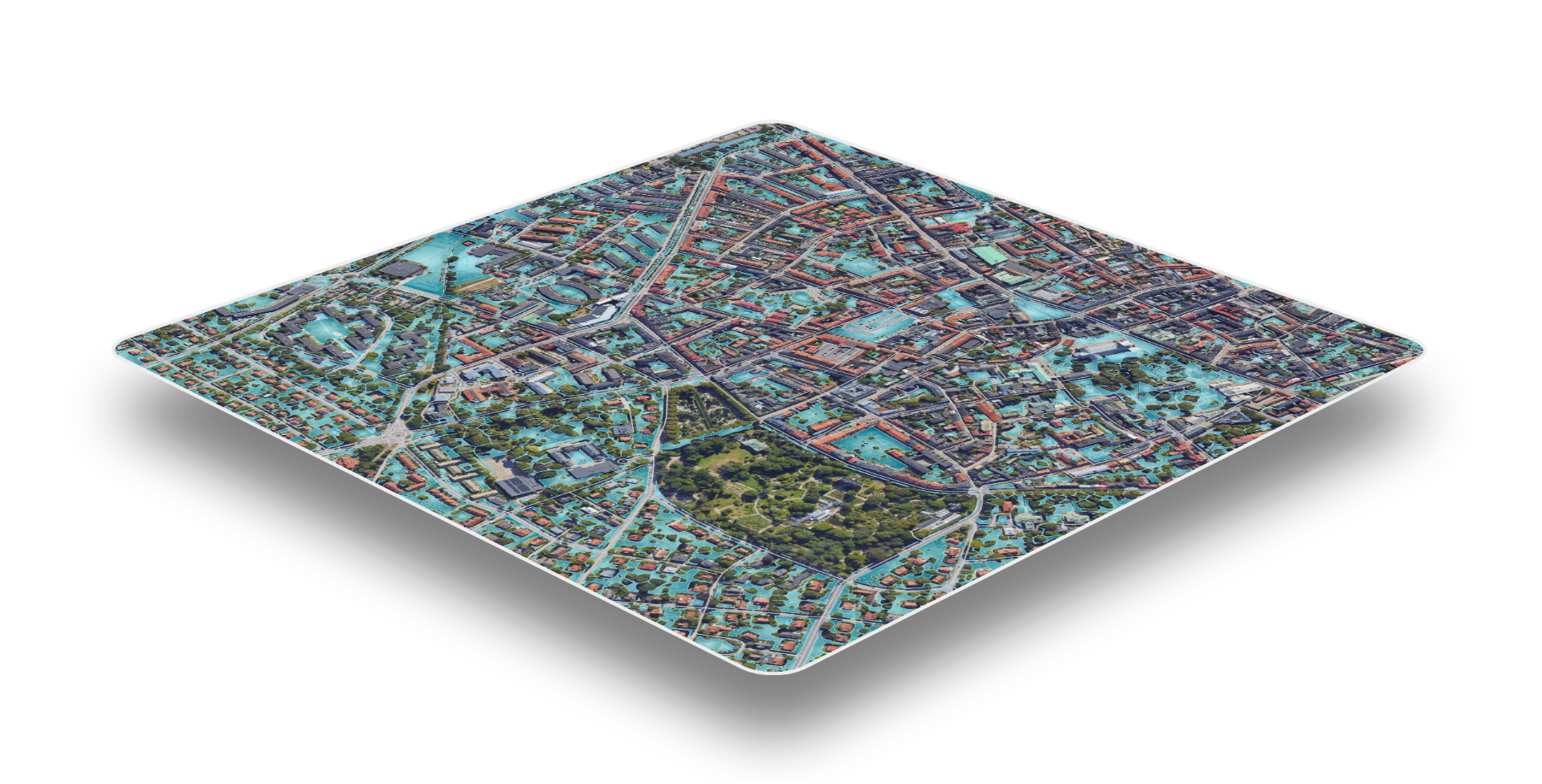
We identify the best plantable locations for new trees by combining cooling potential, biodiversity benefits, and positive social impacts, with a special focus on vulnerable communities.
Our data-driven approach quickly analyses multiple environmental and social factors simultaneously, eliminating the need for time-consuming manual assessments. This enables cities and property owners to prioritise high-impact planting locations faster.
Users can also interact with the data by adjusting priorities to match their specific goals. For example, placing greater emphasis on cooling, biodiversity, or social equity – allowing the results to be tailored to their needs.
Biodiversity Impact Analysis
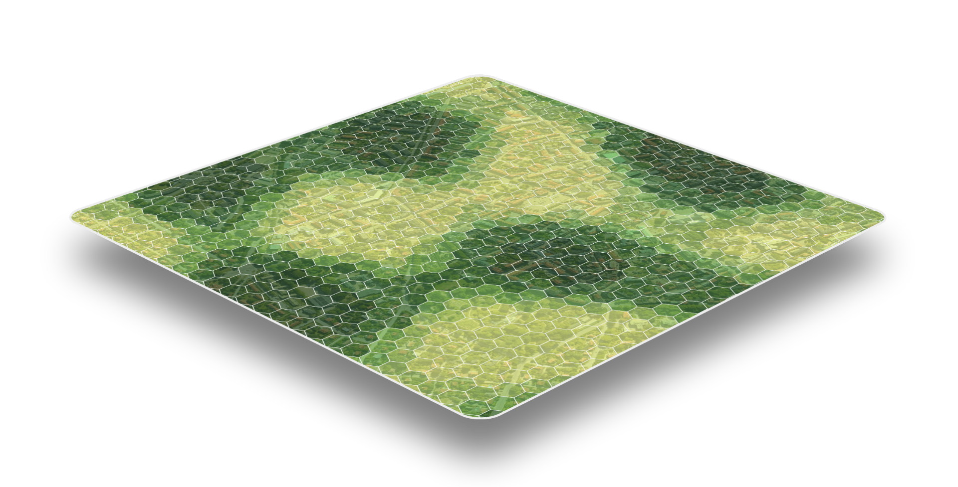
We assess how urban greenery supports biodiversity by analysing the quantity, quality, and connectivity of trees and other vegetation across the urban landscape. Our analysis identifies areas where green spaces provide valuable habitat, as well as locations where additional planting can strengthen ecological networks.
By evaluating both existing and proposed greenery, we help cities, developers, and property owners maximise the biodiversity benefits of their investments.
The results support data-driven planning that creates healthier, more resilient, and nature-rich urban environments while delivering benefits for both urban wildlife and people.
ESG Reporting Support
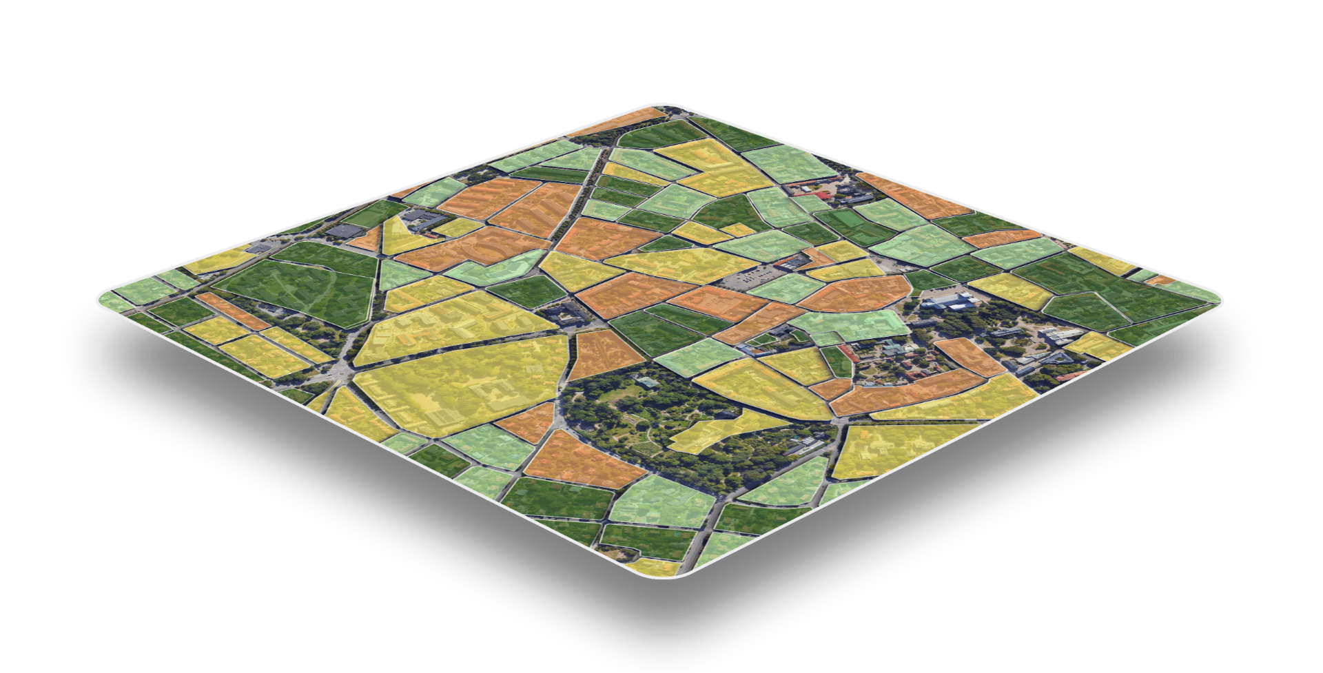
We provide reliable, data-driven metrics to support ESG reporting, sustainability disclosures, and corporate climate strategies. Our platform quantifies the environmental and social benefits of urban greenery – including carbon storage and sequestration, cooling potential, canopy cover, biodiversity and community impact.
By continuously monitoring these indicators over time, organisations can track progress against sustainability goals, measure the outcomes of green investments, and demonstrate measurable impact to stakeholders.
Our insights support reporting under evolving ESG and regulatory frameworks, helping businesses strengthen compliance, improve transparency, and communicate the value of their nature-based initiatives with confidence.
Ready to understand the
green potential of your area?